| at: |
Chilhowee Recreation Area |
Data from Positive Flow
 show on map
 animate
Trail users:


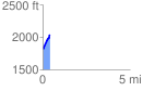
Elevation Profile
 0.403165 mi
 225.76 ft
 12.19 ft
 213.57 ft
 10.61 %
GPX Downloads: Track Route
![]()
| at: |
Chilhowee Recreation Area |
show on map
animate
0.403165 mi
225.76 ft
12.19 ft
213.57 ft
10.61 %