|
| at: |
Bankhead National Forest |
Data from USFS GIS
 show on map
 animate
Trail users:


Elevation Profile
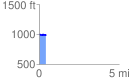
 0.435626 mi
 29.76 ft
 22.26 ft
 7.49 ft
 1.29 %
GPX Downloads: Track Route
![]()
|
| at: |
Bankhead National Forest |
show on map
animate
0.435626 mi
29.76 ft
22.26 ft
7.49 ft
1.29 %