| at: |
Bienville National Forest |
Data from USFS GIS
 show on map
 animate
Trail users:


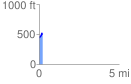
Elevation Profile
 0.214042 mi
 62.16 ft
 17.97 ft
 44.19 ft
 5.50 %
GPX Downloads: Track Route
![]()
| at: |
Bienville National Forest |
show on map
animate
0.214042 mi
62.16 ft
17.97 ft
44.19 ft
5.50 %