|
| at: |
Bienville National Forest |
Data from USFS GIS
 show on map
 animate
Trail users:


Elevation Profile
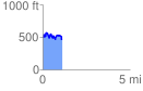
 1.140496 mi
 268.97 ft
 296.55 ft
 -27.58 ft
 4.92 %
GPX Downloads: Track Route
![]()
|
| at: |
Bienville National Forest |
show on map
animate
1.140496 mi
268.97 ft
296.55 ft
-27.58 ft
4.92 %