|
| at: |
Bienville National Forest |
Data from USFS GIS
 show on map
 animate
Trail users:


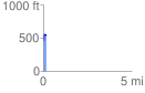
Elevation Profile
 0.179168 mi
 98.17 ft
 21.36 ft
 76.81 ft
 10.38 %
GPX Downloads: Track Route
![]()
|
| at: |
Bienville National Forest |
show on map
animate
0.179168 mi
98.17 ft
21.36 ft
76.81 ft
10.38 %