|
| at: |
Homochitto National Forest |
Data from USFS GIS
 show on map
 animate
Trail users:


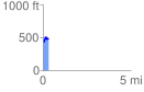
Elevation Profile
 0.329575 mi
 96.45 ft
 45.22 ft
 51.23 ft
 5.54 %
GPX Downloads: Track Route
![]()
|
| at: |
Homochitto National Forest |
show on map
animate
0.329575 mi
96.45 ft
45.22 ft
51.23 ft
5.54 %