| at: |
Homochitto National Forest |
Data from USFS GIS
 show on map
 animate
Trail users:


Elevation Profile
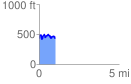
 1.011034 mi
 221.56 ft
 214.22 ft
 7.35 ft
 4.15 %
GPX Downloads: Track Route
![]()
| at: |
Homochitto National Forest |
show on map
animate
1.011034 mi
221.56 ft
214.22 ft
7.35 ft
4.15 %