| at: |
Burnt Mountain |
Data from David Muse
 show on map
 animate
Trail users:


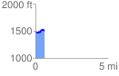
Elevation Profile
 0.603600 mi
 82.28 ft
 64.34 ft
 17.95 ft
 2.58 %
GPX Downloads: Track Route
![]()
| at: |
Burnt Mountain |
show on map
animate
0.603600 mi
82.28 ft
64.34 ft
17.95 ft
2.58 %