|
| at: |
Fort Ord Public Lands |
Data from David Muse
 show on map
 animate
Trail users:


Elevation Profile
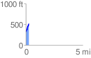
 0.262587 mi
 199.96 ft
 0.00 ft
 199.96 ft
 14.42 %
GPX Downloads: Track Route
![]()
|
| at: |
Fort Ord Public Lands |
show on map
animate
0.262587 mi
199.96 ft
0.00 ft
199.96 ft
14.42 %