| at: |
Warwoman WMA |
Data from USFS GIS
 show on map
 animate
Trail users:

Elevation Profile
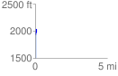
 0.081052 mi
 102.50 ft
 7.67 ft
 94.84 ft
 23.95 %
GPX Downloads: Track Route
![]()
| at: |
Warwoman WMA |
show on map
animate
0.081052 mi
102.50 ft
7.67 ft
94.84 ft
23.95 %