|
| at: |
Bienville National Forest |
Data from USFS GIS
 show on map
 animate
Trail users:


Elevation Profile
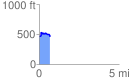
 0.695481 mi
 86.38 ft
 92.72 ft
 -6.34 ft
 2.52 %
GPX Downloads: Track Route
![]()
|
| at: |
Bienville National Forest |
show on map
animate
0.695481 mi
86.38 ft
92.72 ft
-6.34 ft
2.52 %