| at: |
Bienville National Forest |
Data from USFS GIS
 show on map
 animate
Trail users:


Elevation Profile
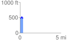
 0.374394 mi
 73.78 ft
 49.95 ft
 23.83 ft
 3.73 %
GPX Downloads: Track Route
![]()
| at: |
Bienville National Forest |
show on map
animate
0.374394 mi
73.78 ft
49.95 ft
23.83 ft
3.73 %