| at: |
Bienville National Forest |
Data from USFS GIS
 show on map
 animate
Trail users:


Elevation Profile
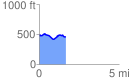
 1.671931 mi
 146.88 ft
 155.43 ft
 -8.54 ft
 1.76 %
GPX Downloads: Track Route
![]()
| at: |
Bienville National Forest |
show on map
animate
1.671931 mi
146.88 ft
155.43 ft
-8.54 ft
1.76 %