|
| at: |
Bienville National Forest |
Data from USFS GIS
 show on map
 animate
Trail users:


Elevation Profile
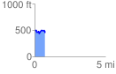
 0.745430 mi
 97.35 ft
 136.86 ft
 -39.51 ft
 3.48 %
GPX Downloads: Track Route
![]()
|
| at: |
Bienville National Forest |
show on map
animate
0.745430 mi
97.35 ft
136.86 ft
-39.51 ft
3.48 %