|
| at: |
Bienville National Forest |
Data from USFS GIS
 show on map
 animate
Trail users:


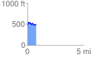
Elevation Profile
 0.793789 mi
 118.46 ft
 90.04 ft
 28.42 ft
 2.83 %
GPX Downloads: Track Route
![]()
|
| at: |
Bienville National Forest |
show on map
animate
0.793789 mi
118.46 ft
90.04 ft
28.42 ft
2.83 %