| at: |
Vickery Creek |
Data from David Muse
 show on map
 animate
Trail users:

Elevation Profile
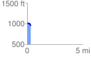
 0.322697 mi
 5.40 ft
 92.30 ft
 -86.90 ft
 5.42 %
GPX Downloads: Track Route
![]()
| at: |
Vickery Creek |
show on map
animate
0.322697 mi
5.40 ft
92.30 ft
-86.90 ft
5.42 %