| at: |
Holly Springs National Forest - North |
Data from USFS GIS
 show on map
 animate
Trail users:


Elevation Profile
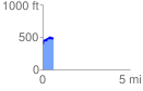
 0.602989 mi
 163.99 ft
 73.50 ft
 90.49 ft
 5.15 %
GPX Downloads: Track Route
![]()
| at: |
Holly Springs National Forest - North |
show on map
animate
0.602989 mi
163.99 ft
73.50 ft
90.49 ft
5.15 %