| at: |
Bienville National Forest |
Data from USFS GIS
 show on map
 animate
Trail users:


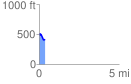
Elevation Profile
 0.398979 mi
 30.31 ft
 112.49 ft
 -82.17 ft
 5.34 %
GPX Downloads: Track Route
![]()
| at: |
Bienville National Forest |
show on map
animate
0.398979 mi
30.31 ft
112.49 ft
-82.17 ft
5.34 %