| at: |
Paris Mountain State Park |
Data from Positive Flow
 show on map
 animate
Trail users:


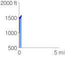
Elevation Profile
 0.320651 mi
 642.80 ft
 552.76 ft
 90.04 ft
 37.97 %
GPX Downloads: Track Route
![]()
| at: |
Paris Mountain State Park |
show on map
animate
0.320651 mi
642.80 ft
552.76 ft
90.04 ft
37.97 %