| at: |
West Georgia Pinhoti Trans North Georgia Johns Mountain WMA |
Data from David Muse
 show on map
 animate
Trail users:


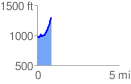
Elevation Profile
 0.867669 mi
 367.00 ft
 57.69 ft
 309.31 ft
 8.01 %
GPX Downloads: Track Route
Trailheads:
 Pinhoti - The Narrows