| in: |
Northwest Georgia |
near: |
La Fayette,
Georgia |
 show on map
 printable map
Last Trail Update: 2015-06-22
printable map
Last Trail Update: 2015-06-22


Hours:
24/7 except during organized hunts, use caution and courtesy during hunting season
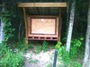
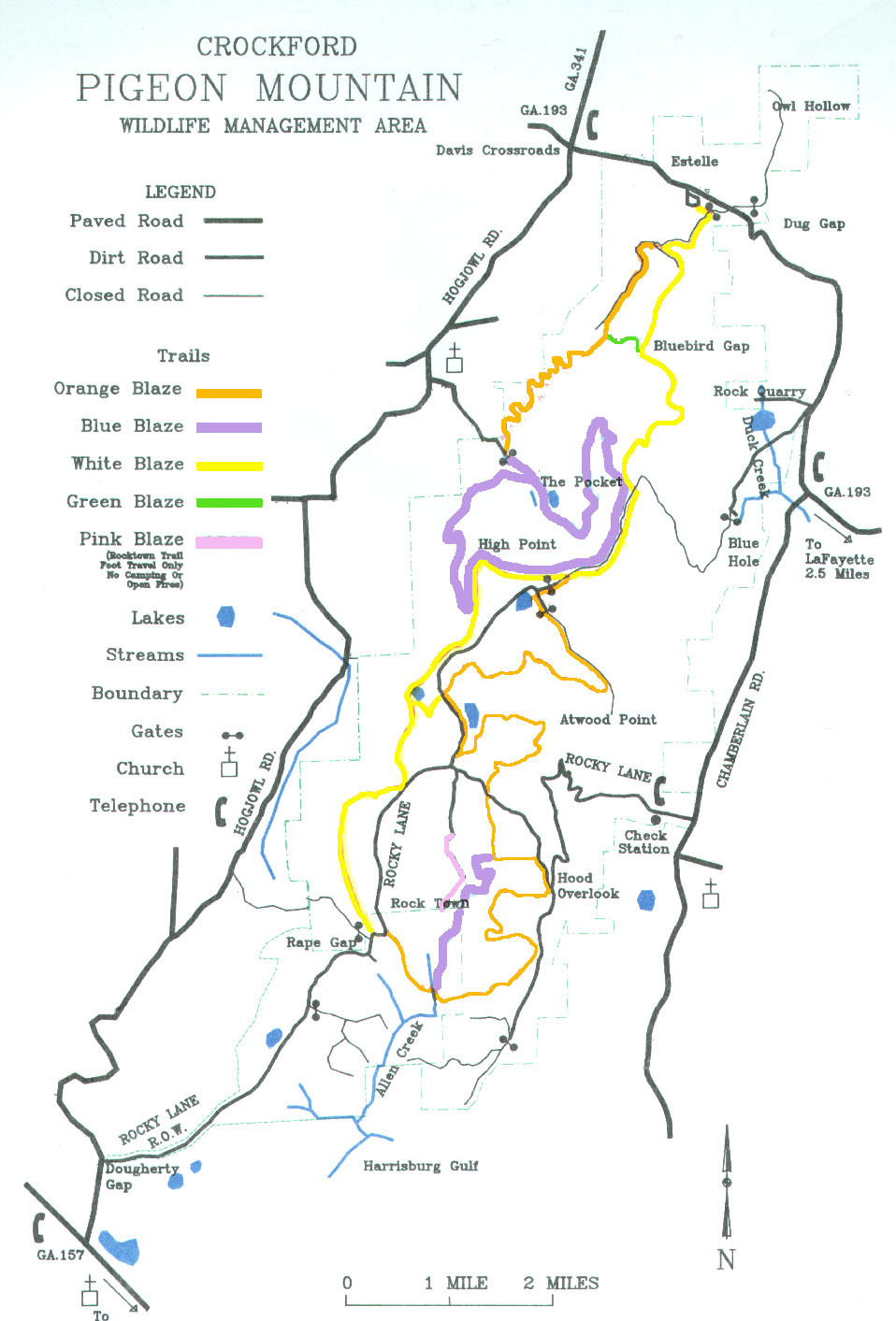
Maps:
Links:
Estelle Mines Railroad
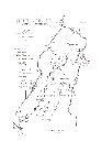
Map by Kevin Haywood
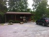
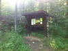
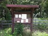
Trailheads:
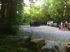
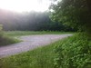
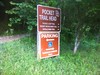
 Chamberlain TrailheadCrockford/Pigeon Mountain Game Check StationEstelle TrailheadHood OverlookThe Blue Hole LotThe Pocket Trailhead
Total Mileage: (note)
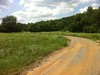
 Hiking Trail - 0.30 mi Bike/Horse Trail - 33.75 mi Dirt/Gravel Road - 20.44 mi Unmaintained Road - 3.01 mi
Trails:
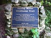
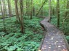
Pocket Wildflower Trail - 0.17 mi Pocket Wildflower Trail Spur 1 - 0.08 mi Pocket Wildflower Trail Spur 1A - 0.01 mi Rocktown Trail - 0.03 mi Atwood Trail (Central Section) - 3.70 mi Atwood Trail (Northern Section) - 2.38 mi Atwood Trail (Rape Gap Lot Connector) - 0.04 mi Atwood Trail (Southern Section) - 3.52 mi Atwood Trail (Southern Section, Unmaintained Road) - 0.91 mi Bear Lake Trail - 0.54 mi Branch Trail - 0.55 mi Chamberlain Trail - 2.91 mi Estelle Mine Trail - 2.68 mi Estelle Mine Trail (Original Route) - 0.11 mi Estelle Trailhead Connector - 0.23 mi Hogjowl Trail - 1.76 mi Hood Trail Connector - 0.05 mi Hood Trail (North End) - 0.04 mi Hood Trail (South End) - 0.09 mi The Pocket Trail (North) - 2.86 mi The Pocket Trail Reroute - 0.03 mi The Pocket Trail (South) - 2.62 mi West Brow Trail Cane Section (Singletrack) - 3.10 mi West Brow Trail (Northern Section) - 2.10 mi West Brow Trail (Southern Section) - 3.53 mi Cornfield Sink Trail (Unexplored) - 0.02 mi Ellison Cave Area Fire Road - 0.04 mi Ellison Cave Trail - 0.05 mi Ellison Cave Trail (Section 2) - 0.03 mi Ellison Cave Trail (Unexplored) - 0.01 mi Lost Wall Trail - 0.02 mi The Pocket Trail Spur 2 - 0.02 mi The Pocket Trail Spur 3 - 0.01 mi West Brow Trail Cane Section Roadbed Spur - 0.03 mi Roads:
Atwood Point Road - 1.73 mi Blue Hole Campground Road - 0.03 mi Blue Hole Recreation Area Road - 1.61 mi Blue Hole Road - 0.04 mi Blue Hole Road (Unexplored) - 0.46 mi Chamberlain Trail Parking Area Road - 0.17 mi Chamberlain Trail Road - 0.09 mi Chamberlain Trail Road (Unexplored) - 0.16 mi Dispersed Camping Road - 0.47 mi Dug Gap Fire Road - 1.25 mi Estelle Mine Trail (Roadbed) - 1.26 mi Estelle Trailhead Lot - 0.18 mi Game Check Station Road - 0.13 mi McCutcheon Springs Road - 4.10 mi Pocket Road (Gravel) - 0.76 mi Pocket Road (Gravel, Closed to Vehicles) - 0.53 mi Pocket Wildflower Trail Lot - 0.05 mi Rape Gap Lot - 0.06 mi Rocktown Road - 0.68 mi Rocky Lane (Unexplored) - 0.09 mi Rocky Lane (Unpaved) - 3.64 mi Sawmill Camp Road - 0.08 mi Sawmill Horse Camp Road - 0.13 mi Sawmill Lake Camping Spur - 0.16 mi South Brow Road - 1.91 mi South Brow Road Camping Spur 1 - 0.61 mi South Brow Road (Unexplored) - 0.05 mi Blue Hole Fire Road - 2.54 mi West Brow Trail Cane Section (Roadbed) - 0.46 mi Pocket Road (Paved) - 0.43 mi Rocky Lane (Paved) - 3.55 mi Points of Interest:
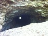
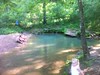
 The Blue HoleEllison CaveRocktownPocket Branch Falls